|
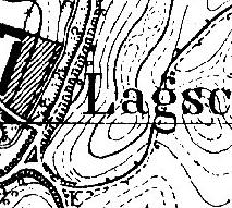
Lagschau (1936) - Scanned by D.P. Schwert from "Topographische Karte 1:25,000, Map 1877, Sobbowitz." On this highly-detailed map (individual houses are even shown), each lined square equals 1 km2.
|

|
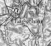
Lagschau (1937) - Scanned by D.P. Schwert from "Karte des Deutschen Reiches, 1:100,000." A larger, 300 dpi version (2.4 MB) of this map is available here. The Karte des Deustschen Reiches is also available on-line here.
|

|
Lagschau (1937) - Scanned by D.P. Schwert from "Karte des Deutschen Reiches, 1:100,000." Same map as above, but including regions a bit further east of Lagschau and Sobbowitz. Large version only (2.0 MB), 300 dpi. The Karte des Deustschen Reiches is also available on-line here.
|

|
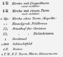
Key - Key to "Karte des Deutschen Reiches, 1:100,000." Scanned by D.P. Schwert.
|

|
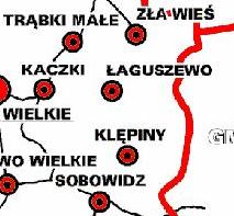
Łaguszewo Region - Map from Municipality of Trąbki Wielkie, in northern Poland. Lagschau is now Łaguszewo, and Kladau is now Kłodawa.
|


