|
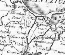
Poland (1799) - Scanned from "A New Map of Poland and the Grand Duchy of Lithuania," by John Cary, Engineer. Map was found in the archive of the Erie County Library in Buffalo, New York, USA. Scan is from a photocopy of the map, and includes the region of Danzig. Map was produced to show the dismemberments and divisions among Austria, Russia, and Prussia in 1772, 1793, and 1795.
|

|
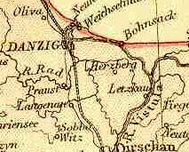
West Prussia (1882) - Scanned from Blackie & Sons Atlas (Edinburgh, 1882). Scale: 1:1,800,000 (or one inch = about 28 miles). Map is courtesy of FEEFHS: Federation of East European Family History Societies.
|

|
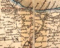
West Prussia (1883) - Scanned from Atlas des Deutschen Reichs (Ludwig Ravenstein, 1883). Scale: 1:850,000 (or one inch = about 14 miles). This is one of a series of scans of this map available courtesy of the University of Wisconsin Library. Map is damaged, with an obvious attempt to repair it with tape.
|

|
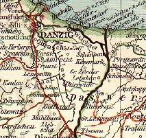
West and East Prussia (1896) - This map is from a comprehensive series of maps available at Hauke Fehlberg's Genealogy in Historical Eastern Germany. Scale: 1:1,700,000. It includes an inset map to the city of Danzig.
|

|
West and East Prussia (1899) - Scanned by D.P. Schwert from Andrees Handatlas (Leipzig, 1899). Scale: 1:1,000,000 (or one inch = about 16 miles).
|


